


The Guyana Lands and Surveys Commission (GL&SC) is forging ahead with its plan to remap Guyana. The contract has already been awarded, and works are set to commence in a phased manner with Region One (Barima/Waini) and parts of Region Four (Demerara/Mahaica) scheduled to be the first areas to be mapped after five decades.
The entire exercise, according to GL&SC Commissioner, Trevor Benn, will cost some US$18M. This hefty price tag has, however, forced the commission to roll out the project in parts. The sum of US$1.1M will be spent to map Region One and the fractional charting of Region Four.
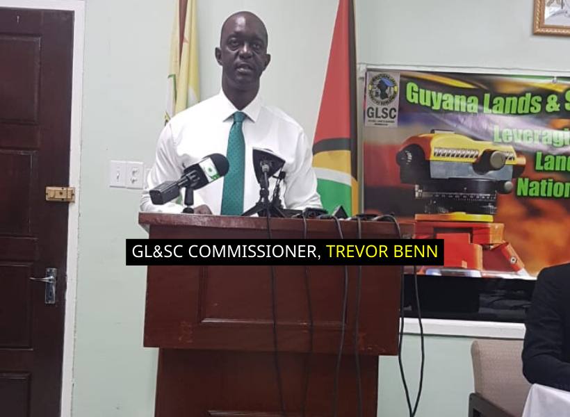
“We have settled for one individual. The National Procurement and Tender Administration board has selected one consultancy firm to conduct the mapping, we are doing it in phases [because] we cannot undertake it as a whole, given the cost associated with it. For this particular supplier, the cost for the entire country is something like $18M US [dollars],” Benn said.
The company is a Canadian firm called North West Geomatics Ltd. The decision to hire the firm was made after it applied for the contract, US$57M below the previously estimated cost.
“We chopped around because we want to be able to spend our hard-earned money properly…We’ve found someone who will be able to do it for us for $18M – the cheapest so far. This went to the [National] Procurement and Tender Administration Board, and they approved it. So that work is about to start,” Benn noted.
He reported that a team from the company is on the ground, with two aircraft lying at the Eugene Correia International Airport to support the project.
Benn said that when the team arrived in Guyana “three Fridays ago”, there was an incident where a laptop was “removed from the airplane without consent”. This resulted in a delay. The rain has since added to that protraction, the official said.
The company will be using the latest Light Detection and Ranging (LIDAR) technology to capture relevant data.
According to the American Geosciences Institute (AGI), LIDAR is “a remote sensing method that uses light in the form of a pulsed laser to measure ranges (variable distances) to the Earth. These light pulses—combined with other data recorded by the airborne system— generate precise, three-dimensional information about the shape of the Earth and its surface characteristics.”
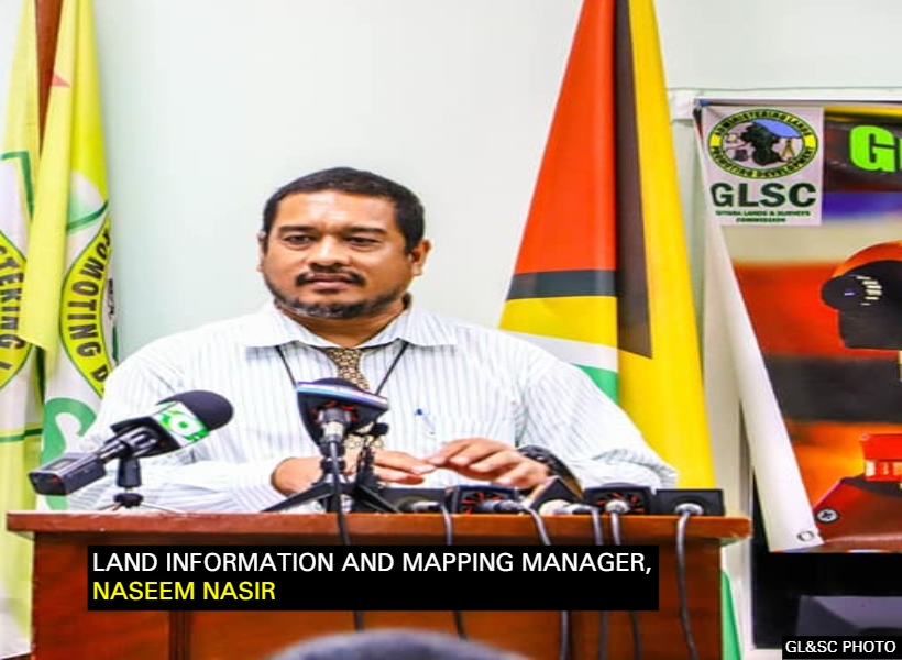
Land Information and Mapping Manager, Naseem Nasir in emphasising the importance of the exercise, said that the mapping will allow both the government and private sector to make informed decisions when it comes to land acquisition by accessing data that will show land makeup, location, size, accessibility, etc.


