The Guyana Lands and Survey Commission (GLSC) and the Food and Agriculture Organization of the United Nations (FAO) recently announced the commencement of aerial survey and mapping across the country using the latest Light Detection and Ranging (LIDAR) aerial mapping imagery and technologies.
In the coming weeks, international expertise provided by Medici Land Governance (MLG) and its partners will conduct the said activities.
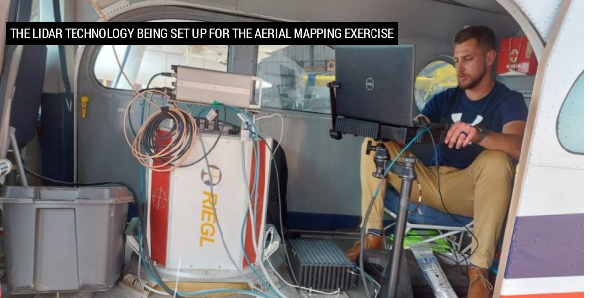
The aerial survey will use an aircraft carrying LIDAR sensors and mapping cameras to collect highly accurate and detailed LIDAR and orthophoto maps of the land surface within targeted regions.
The data collected will be processed to produce digital terrain models and map imagery for extracting infrastructure, water features, and 3D building models. The resulting data will then be entered into key layers to update the national base maps which are over 50 years old.
At the end of this exercise, over 500 km2 of the urbanized land area (nearly all of Guyana’s urban footprint) and over 15,000 km2 of the rural area will be surveyed using this new technology.
Enrique Monize, Commissioner of GLSC said, “We are excited to see the latest mapping technologies being employed to advance land surveying. Even though LIDAR has been used before in Guyana, this is the first large scale activity that also combines traditional imagery with LIDAR for mapping purposes in the country.”
Dr Gillian Smith, FAO Representative, added, “It is our pleasure to support Guyana’s efforts to transform land management and administration.”
This activity is part of the objectives of the Sustainable Land Development and Management Project (SLDM) project, which seeks to advance technology in land management and development. The project is being implemented by GLSC and the FAO with funding from the Guyana Investment Fund.
